



Flight Area
Turnpoint-Map, Waypoints and Airspace
Waypoints and Airspace for competition
- Waypoint files V2 (31.07.2026)
- Airspace files V1 (28.07.2026)
- Weekend: DOWE
- Weekday regular: DOWD
- Weekday helicopter: DOWDH
- Weekday military: DOWDM
- Weekday helicopter + military: DOWDHM
Note: For XCTrack pilots there is a region "COMP CH" which can be activated. Thus the airspace files do not have to be downloaded. More information can be found here.
Airspace verification uses GPS altitude!
Ensure that your instrument is set to use the WGS84 Ellipsoid. Oudies, when they receive an update, can silently change their map datum to the FAI Sphere. Please check these instruments carefully after every update.
During the competition, the airspaces can be viewed at airspace.xcontest.org using the country "COMP CH".
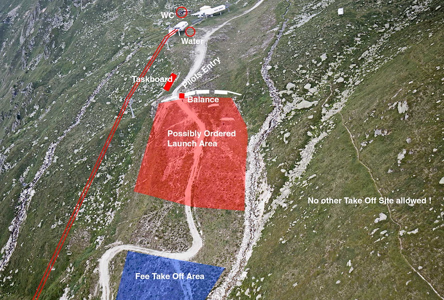
Main Take Off Gendusas
Red = controlled take off if neccessairy. Blue (below the road!) = free take off at any time.
Very nice Webcams, Webcams on take off site Disentis-Gendusas
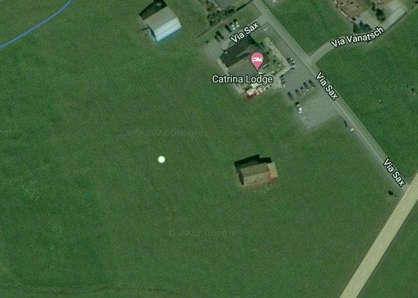
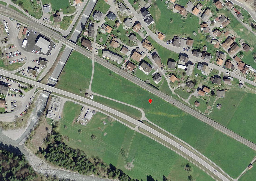
Main Landing Area L01
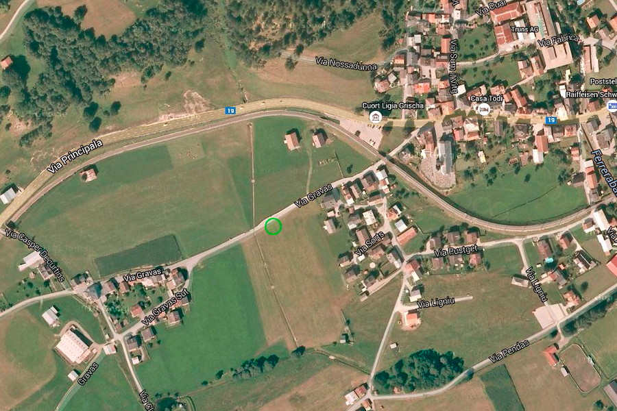
Landing Area L02 Trun
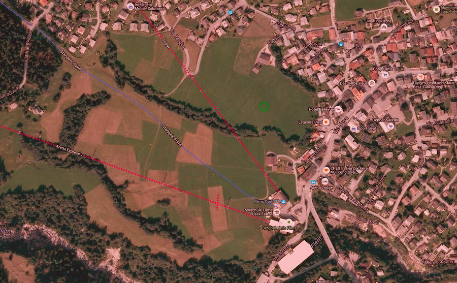
Landing Area L20 Flims
Landing Area L30 Schiers




 beschnitten 250px.png.res-x.webp)