


Airspace and Obstacles
Obstacles
This links shows most of the obstacles in Switzerland:
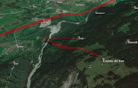
It looks difficult - but in our area we have only one cable that can bother us if we are low - the rest are all very well visible:
Surrein-Run
Airspace
Penaltys for airspace infringement at Disentis Open:
- Zero tolerance for official airspaces: 1 point inside = 0 points
- 1 point / m for wildlife protection zones
- GPS altitude
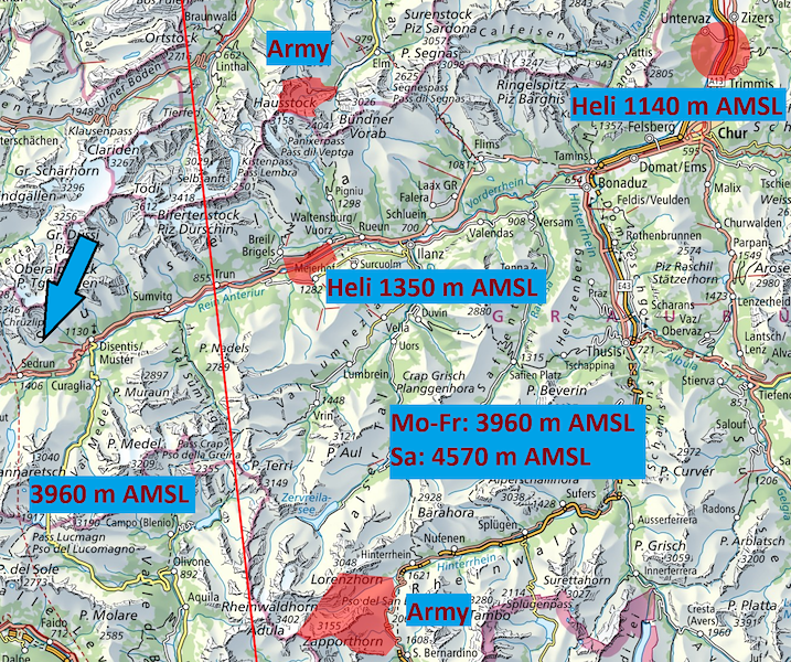
Max altitude Monday through Friday: 3960m AMSL. On Saturday, outside of the Airway (about 10 km East of Disentis): 4570 m AMSL.
The following map shows the most relevant official airspaces, and is informative only. Use the official airspace files below, the country "COMP CH" at airspace.xcontest.org or the "COMP CH" layer in XCTrack for accurate, up-up-to-date information.
Airspace Files
- Airspace files V1 (28.07.2026)
- Weekday regular: DOWD
- Weekday helicopter: DOWDH
- Weekday military: DOWDM
- Weekday helicopter + military: DOWDHM
- Weekend: DOWE
- The file to be used will be announced at the Task Briefing each day.
Make airspace visible
During the competition, the airspaces can be viewed at airspace.xcontest.org using the country "COMP CH".
Service for XCTrack pilots
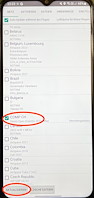
Pilots using XCTrack as flight software can activate the airspaces with the XCTrack airspace function. To do this, select the region "COMP CH" in the "Airspaces and Obstacles" menu and click on update.
Important 1:
To ensure that the correct airspaces are loaded, the region must be updated every day before takeoff.
Important 2:
Do not activate additional regions. Especially "Switzerland" should be deactivated during the competition.
Note: The region "COMP CH" will only be visible in the XCTrack at the competition.




 beschnitten 250px.png.res-x.webp)