Meteo Tuesday
The low-pressure trough to the west is developing as expected, splitting off and moving South to the Mediterranean. This will turn the pressure situation across the Alps around Wednesday night. For tomorrow, we can expect the same pattern as the last few days, with a few improvements:
- SW winds up high, around 15-25 km/h
- South wind entering the Rhine valley from the southern passes, starting with Lukmanier (the one to the south of Disentis), then successively further east. This will neutralize the valley breeze probably all the way down to Ilanz. The effect should be less than the last two days, though.
- Thermals starting around 10:00, improving steadily, up to 3300-3500 m, blue at first and only a few CU in the afternoon.
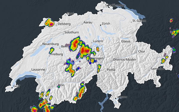
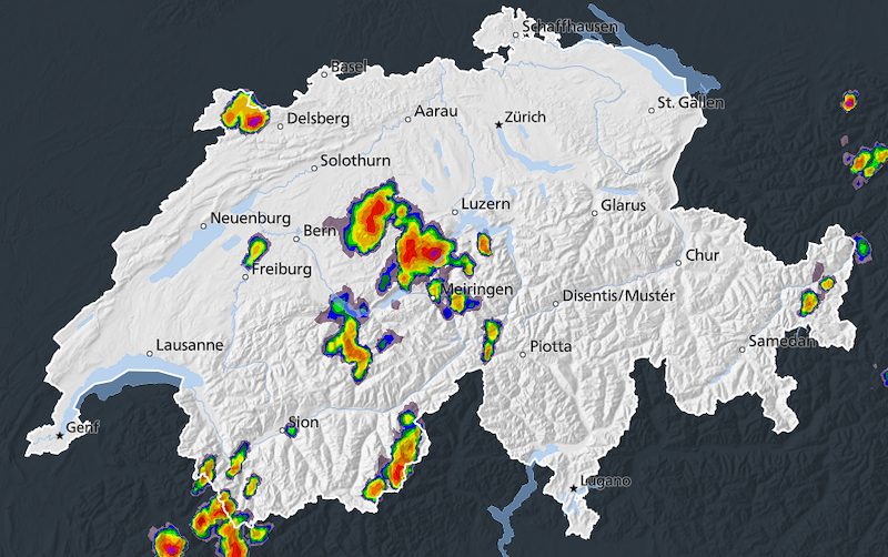
- Thunderstorms are expected to happen mainly in western Switzerland, our area should stay dry and unaffected by Cb.
With these conditions, we should be able to fly at least to Flims.
Preliminary plan:
9:00 Cable car for the task committee
9:30/10:00 Cable car for the others
From 9:15: Coffee, croissants and tracker at the middle station
10:15: Task briefing
Next update tomorrow at 8:00









New Comment